Geospatial Imagery and AI Unite to Create a Powerful Tool for P&C
The Casualty Actuarial Society (CAS) and the Society of Actuaries (SOA) proudly release “Advanced Analytics in Insurance: Utilizing Building Footprints Derived from Machine Learning and High-Resolution Imagery.” This cosponsored Research Paper showcases valuable applications in underwriting, rating, and claims settlement within the property and casualty (P&C) insurance sector.
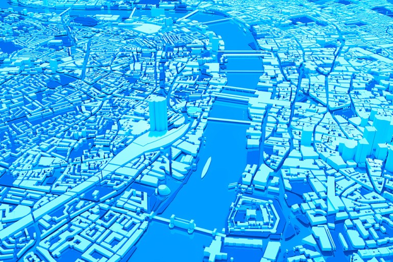
Geospatial imagery and high-resolution imaging technologies have significantly impacted multiple industries, including agriculture, transportation, disaster response, and construction. A particularly important subset of geospatial data for insurers is building location, which is traditionally determined through address-based geocoding. However, this method often yields only a single point estimate that may not accurately reflect actual building locations. Structure footprints, derived from advanced methods, offer a potentially more accurate alternative for assessing risk.
The paper introduces the use of remotely sensed imagery and AI techniques to create precise building footprints on a large scale. It also explores the use of high-resolution elevation data, such as LiDAR, to enhance structural risk assessment.
To illustrate these advancements, the paper concludes with two case studies on flood and wildfire that demonstrate the practical value of building footprint data in the insurance domain.